6 walks in South Limburg not to be missed
If you look beyond the rich history and vibrant culture of Maastricht, you’ll quickly see that the city is a fantastic starting point for hikers and outdoor enthusiasts. Maastricht is nestled at the foot of the rolling hills of South Limburg, with beautiful landscapes, lush forests, and picturesque villages just a few kilometers away. Maastricht and its surroundings offer a large number of hiking trails. Whether you’re an experienced hiker or just looking to enjoy a leisurely walk amidst nature, these hiking routes around Maastricht will surely captivate your senses. And the best part: they are all easily accessible from the center of Maastricht.

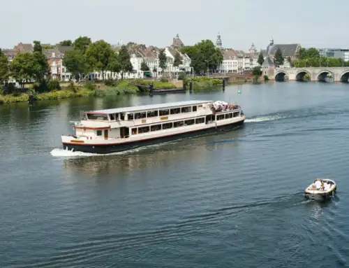
Photo: Maastricht Marketing / Hugo Thomassen
If you’re interested in combining any of these walks with a hiking package in Maastricht or South Limburg, or turning it into a hiking holiday, continue reading at the bottom of this page. These are the walking routes in and around Maastricht that you’ll want to experience:
- Pieterpad, etappe Sint-Pietersberg – Strabeek (near Valkenburg)
- A segment towards Santiago de Compostela
- Krijtland path
- Pilgrim’s Path
- Dutch Mountain Trail, Eygelshoven – Maastricht

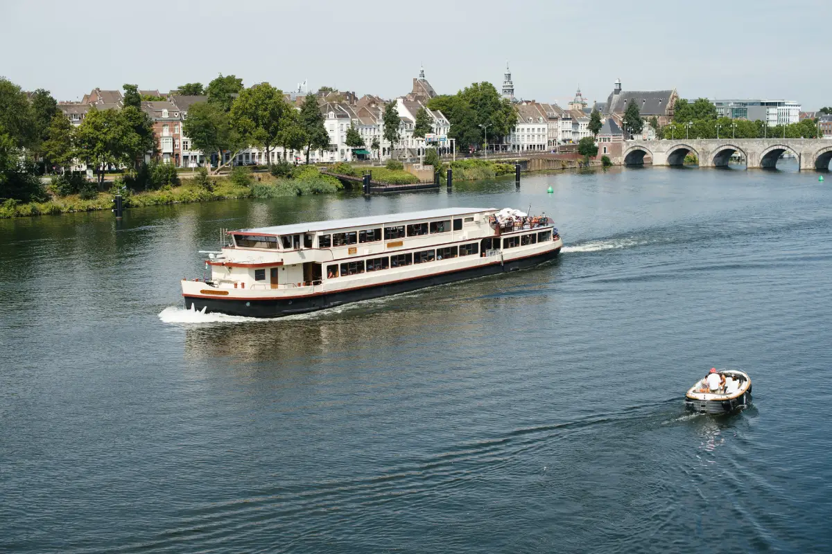
Photo: Maastricht Marketing / eighty8things
Pieterpad, etappe Sint-Pietersberg – Strabeek (near Valkenburg)
Distance: 17 kilometers
Duration: 4 hours
Transport: You start or end near Valkenburg Station, 10 minutes by train from Maastricht.
The most famous long-distance walking route in the whole of the Netherlands, totaling 498 kilometers! The path runs from Pieterburen on the Groningen coast all the way to the Sint-Pietersberg in South Limburg. The route is divided into 26 stages, making it easy to hike a portion of it. From Maastricht, you can complete the last stage (or the first, depending on how you look at it).
A segment towards Santiago de Compostela
Distance: 7 kilometers (or more)
Duration: 1,5 uur (or more)
Transport: Take the train back to Maastricht from Eijsden, Visé (B), or Liège (B), depending on how far south you walk.
The most popular pilgrimage in the world is the Camino de Santiago, also known as the St. James’ Way. Thousands of starting points across Europe converge in Santiago de Compostela in Spain. Did you know that the St. James’ Way passes through South Limburg, and even through the heart of Maastricht? You can also follow the ‘Via Mosana’ route from Maastricht. This way, you can experience being a pilgrim, a day of contemplation on foot.

Photo: Visit Zuid-Limburg
Photo: Visit Zuid-Limburg
Krijtland path
Distance: 8 to 23 kilometers, depending on the stage
Duration: at least 1,5 hours
Transport: Take bus 15 (stage 2), bus 57 (stages 3, 6), bus 350 (stages 4, 5, 6)
This total of 90 kilometers circular walk divided into 6 stages encompasses everything that makes South Limburg so beautiful. Walking through the Chalk of the Mergelland Plateau means walking through history, rolling landscapes, orchards, and picturesque villages. You can easily walk one stage or multiple stages. If you have to choose two, then take stages 2 and 3. In stage 2, you pass through Noorbeek, one of the most beautiful villages in the Netherlands, and in stage 3, you can take a break at Boscafé ‘t Hijgend Hert in Vijlen, the only Dutch mountain hut at an altitude of 260 meters.
Pilgrim’s Path
Distance: 13.9 kilometers (stage 14 Cadier en Keer – Mesch) // 22.1 kilometers(stage 13 Maastricht – Schin op Geul)
Duration: 3 to 6 hours, depending on the stage
Transport: Stage 13: train back from Schin op Geul // Stage 14: bus 350 to Cadier en Keer, return train from Eijsden
The St. James’ Path was already mentioned, but there are several pilgrim routes across Europe and the Netherlands. This pilgrim’s path leads from Amsterdam to the Belgian town of Visé, where it connects to other pilgrim routes. Stage 13 is usually walked from Schin op Geul towards Maastricht, but you can also reverse it, allowing you to relax and take the train home. Stage 14 is particularly beautiful, passing through the greenery of the Savelsbos. It ends in Mesch, where you can either walk a short distance to Eijsden station to catch the train or bus back, or you can continue further south towards Visé to catch the train home from there.
View / download walking route here – stage 13
View / download walking route here – stage 14

Photo: Visit Zuid-Limburg

Photo: Visit Zuid-Limburg
Dutch Mountain Trail, Eygelshoven – Maastricht
Distance: 101 kilometers
Duration: depending on the stage
Transport: train to Eygelshoven station, the starting and ending point
The toughest hike in the Netherlands? That would be the Dutch Mountain Trail, a rugged route of 101 km along the 7 hilltops of South Limburg with a total of 2000 meters of elevation gain. You’ll hike over the Vaalserberg, at 322 meters the highest mountain in the Netherlands.
Hiking and staying overnight in South Limburg
At The Green Elephant Hostels, many hikers stay overnight, and afterwards, unwinding in the wellness area with saunas is a great way to conclude a day of hiking. If your accommodation includes a private room with its own bathroom and a king-size Auping bed, you’ll wake up fully rested before starting your hike. Moreover, the hotel is conveniently located around the corner from the train station in the most charming neighborhood of Maastricht, Wyck. It’s ideal as a starting point for exploring South Limburg or for relaxing afterward on a terrace for a drink or dinner.
Use these discount codes to book your stay directly and enjoy a 10% discount:


